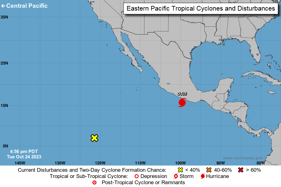
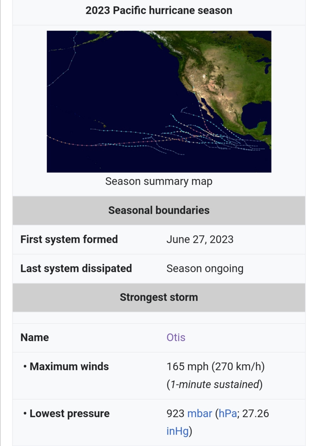
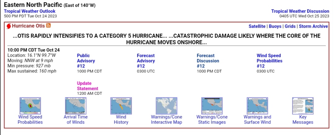
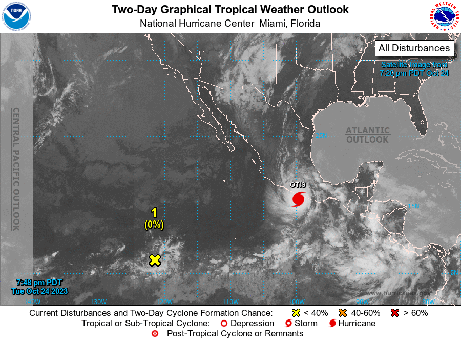
IT'S SO JOVA FOR MEXICO. OTIS MIGHT MAKE A CATEGORY 5 LANDFALL IN ACAPULCO

Xangsane

Xangsane

squishy squishy!
Joined
Jun 11, 2021
Posts
161,034
Reputation
140,306
WTFFFF

 
Last edited:
Eastern North Pacific (East of 140°W)​
Tropical Weather Outlook
500 PM PDT Tue Oct 24 2023​
TC Type Image
Hurricane Otis RSS Feed icon
Alert icon
Special Advisory products have been issued. Use links below for details.
...OTIS RAPIDLY STRENGTHENS INTO AN EXTREMELY DANGEROUS CATEGORY 4 HURRICANE... ...NOW EXPECTED TO BE NEAR CATEGORY 5 INTENSITY AT LANDFALL...

7:00 PM CDT Tue Oct 24
Location: 15.7°N 99.6°W
Moving: NNW at 8 mph
Min pressure: 941 mb
Max sustained: 145 mph
Public
Advisory
#11

700 PM CDT
Forecast
Advisory
#11

0000 UTC
Forecast
Discussion
#11

700 PM CDT
Wind Speed
Probabilities
#11

0000 UTC
 
OVER FOR JOVA
OTIS MOGS

000
WTPZ43 KNHC 242356
TCDEP3

Hurricane Otis Special Discussion Number 11
NWS National Hurricane Center Miami FL EP182023
700 PM CDT Tue Oct 24 2023

This special advisory is being issued to update the current and
forecast intensity of Otis. Satellite images show that the very
rapid intensification observed earlier today has continued, and the
latest data support an initial intensity of 125 kt. The intensity
forecast peak is updated to 140 kt, category 5 strength, since the
environment isn't forecast to change much before landfall, and there
are no signs of this explosive intensification stopping. This is
an extremely dangerous situation, and all preparations for Otis
should be rushed to completion.

There are no changes to the track or wind radii forecast on this
advisory, and this special advisory is being issued in lieu of the
Intermediate Advisory.

Key Messages:

1. Otis is forecast to be a potentially catastrophic Category 5
hurricane when it reaches the southern coast of Mexico late tonight
or early Wednesday, and preparations to protect life and property
should be rushed to completion.

2. A potentially catastrophic storm surge is expected to produce
life-threatening coastal flooding near and to the east of where the
center makes landfall. Near the coast, the surge will be
accompanied by large and destructive waves.

3. Heavy rains from Otis will continue to impact areas of southwest
Mexico this week. This rainfall will produce flash and urban
flooding, along with mudslides in areas of higher terrain.


FORECAST POSITIONS AND MAX WINDS

INIT 25/0000Z 15.7N 99.6W 125 KT 145 MPH
12H 25/0600Z 16.3N 100.0W 140 KT 160 MPH
24H 25/1800Z 17.5N 100.8W 90 KT 105 MPH...INLAND
36H 26/0600Z 18.1N 101.5W 50 KT 60 MPH...INLAND
48H 26/1800Z 18.4N 102.1W 30 KT 35 MPH...INLAND
60 H 27/0600Z...DISSIPATED

$$
Forecaster Blake
 
  • So Sad
Reactions: aspiringexcel
Two pac 0d0
Two pac 2d0 3
 
  • JFL
Reactions: aspiringexcel
Eastern North Pacific (East of 140°W)​
Tropical Weather Outlook
500 PM PDT Tue Oct 24 2023​
TC Type Image
Hurricane Otis RSS Feed icon
Alert icon
Special Advisory products have been issued. Use links below for details.
...OTIS RAPIDLY STRENGTHENS INTO AN EXTREMELY DANGEROUS CATEGORY 4 HURRICANE... ...NOW EXPECTED TO BE NEAR CATEGORY 5 INTENSITY AT LANDFALL...

7:00 PM CDT Tue Oct 24
Location: 15.7°N 99.6°W
Moving: NNW at 8 mph
Min pressure: 941 mb
Max sustained: 145 mph
Public
Advisory
#11

700 PM CDT
Forecast
Advisory
#11

0000 UTC
Forecast
Discussion
#11

700 PM CDT
Wind Speed
Probabilities
#11

0000 UTC
lmfao he embedded this shit as a fucking table

peak autism

 
  • JFL
Reactions: aspiringexcel and Xangsane
lmfao he embedded this shit as a fucking table

peak autism
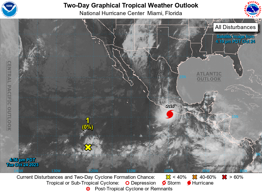
OTIS IS GONNA BEAT PATRICIA FOR STRONGEST LANDFALL
OTIS WILL BEAT JOVA FOR STRONGEST STORM
OTIS BLEW UP IN A FEW HOURS

IT'S SO JOVA

@HernanDrago @StrangerDanger
 
  • JFL
Reactions: aspiringexcel and Deleted member 43403
3646854 1694910730964
Two pac 2d0 3
 
  • JFL
Reactions: aspiringexcel
Interesting, hope no pablos or Juanitas die.
 
  • +1
Reactions: Xangsane
  • JFL
Reactions: aspiringexcel

Similar threads

Jatt
Replies
21
Views
673
Arminus
Arminus
hax
Replies
19
Views
525
faivc
faivc
Sujumh
Replies
46
Views
2K
kranerman23123
kranerman23123

Users who are viewing this thread

Back
Top