Bitchwhipper2
More tren more men
- Joined
- Oct 17, 2021
- Posts
- 26,242
- Reputation
- 41,706
I cant believe i take advice from these people
Follow along with the video below to see how to install our site as a web app on your home screen.

Note: this_feature_currently_requires_accessing_site_using_safari
I cant believe i take advice from these people
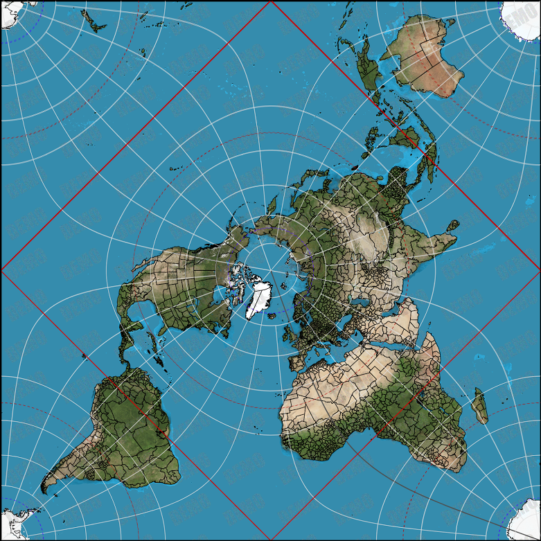
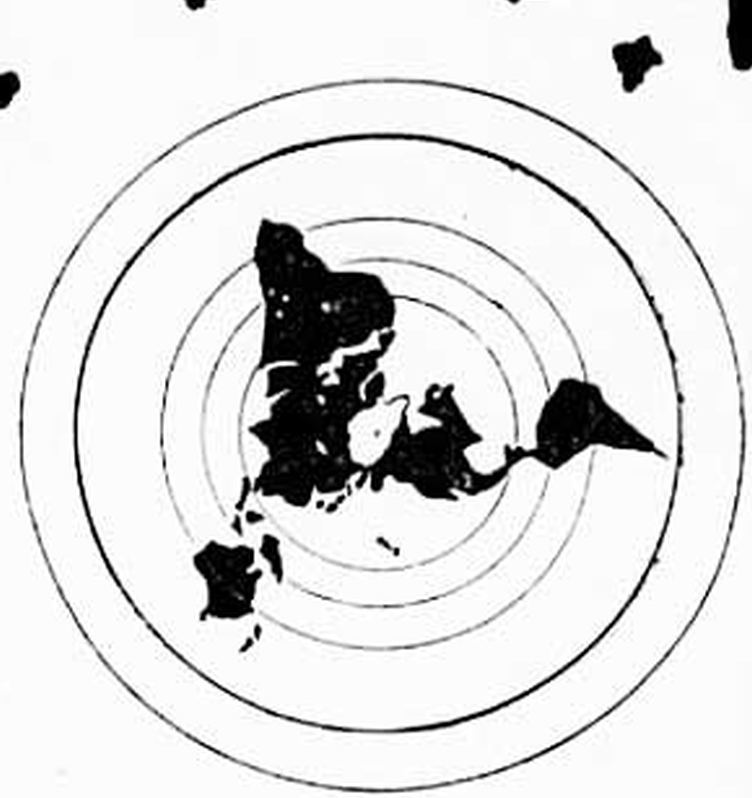
Here's a better map
Bro, now antarctica is fucked up insteadHere's a better map
View attachment 1425590
Antarctica is the only part on this map that is a bit busted, but that's to be expected.
No shit, because Antarctica is far bigger.Bro, now antarctica is fucked up instead
Jfl @ your iq.No shit, because Antarctica is far bigger.
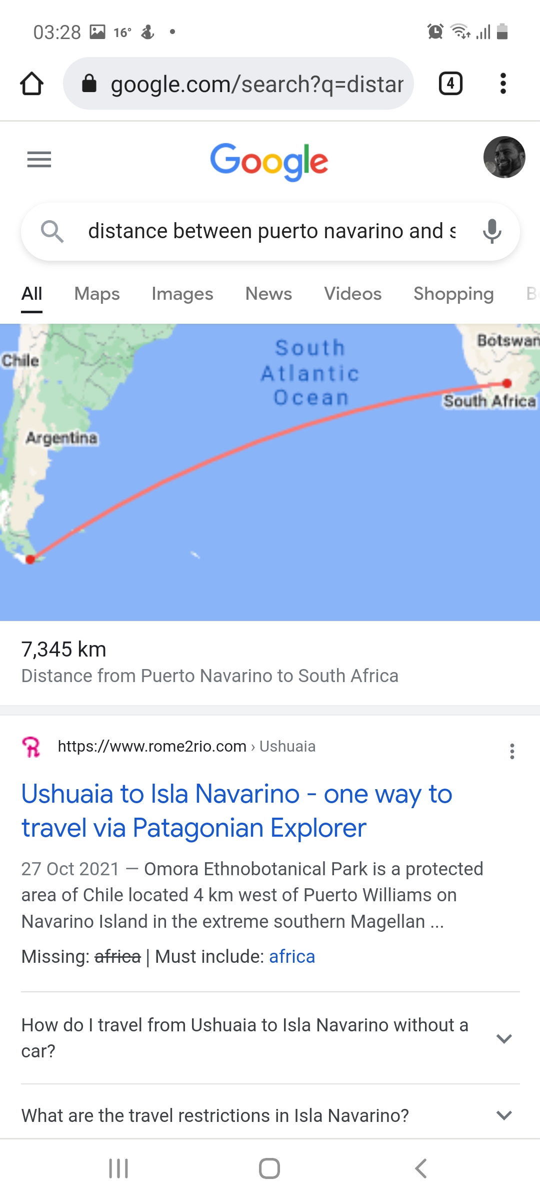
Your measurements are wrong, the distance from puerto navarino to south africa is about 7.3km on this map, which is accurate. The countries on this map are also to their actual size, unlike the equidistant map. Most maps have a fucked sizes of the countries/continents.Jfl @ your iq.
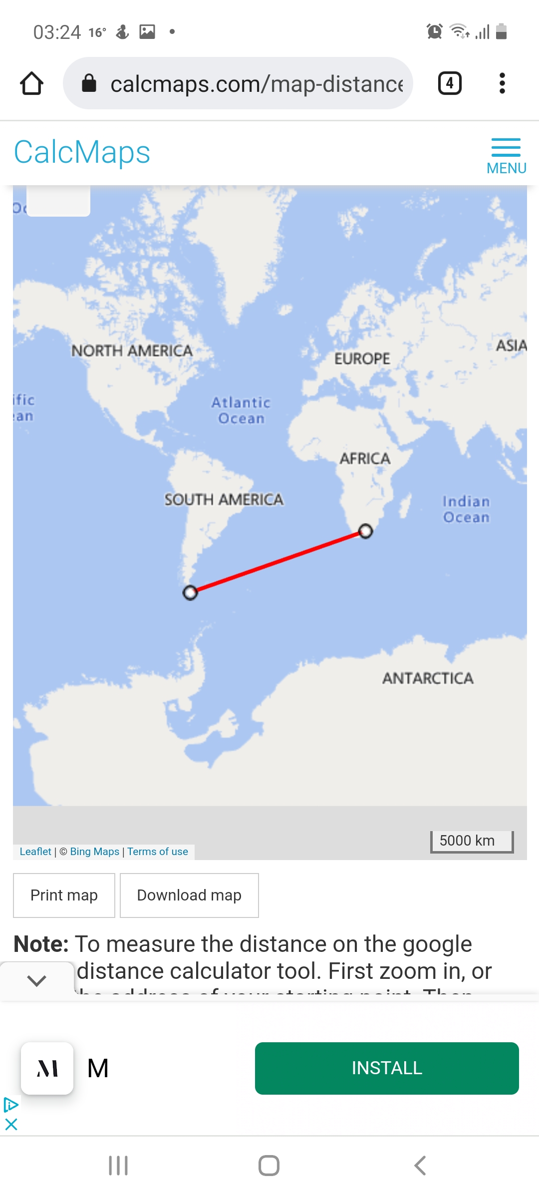
I literally disproved this map with a ruler
In this map the distance between puerto navarino (bottom of chile) to south africa is around 5x the width of australia.
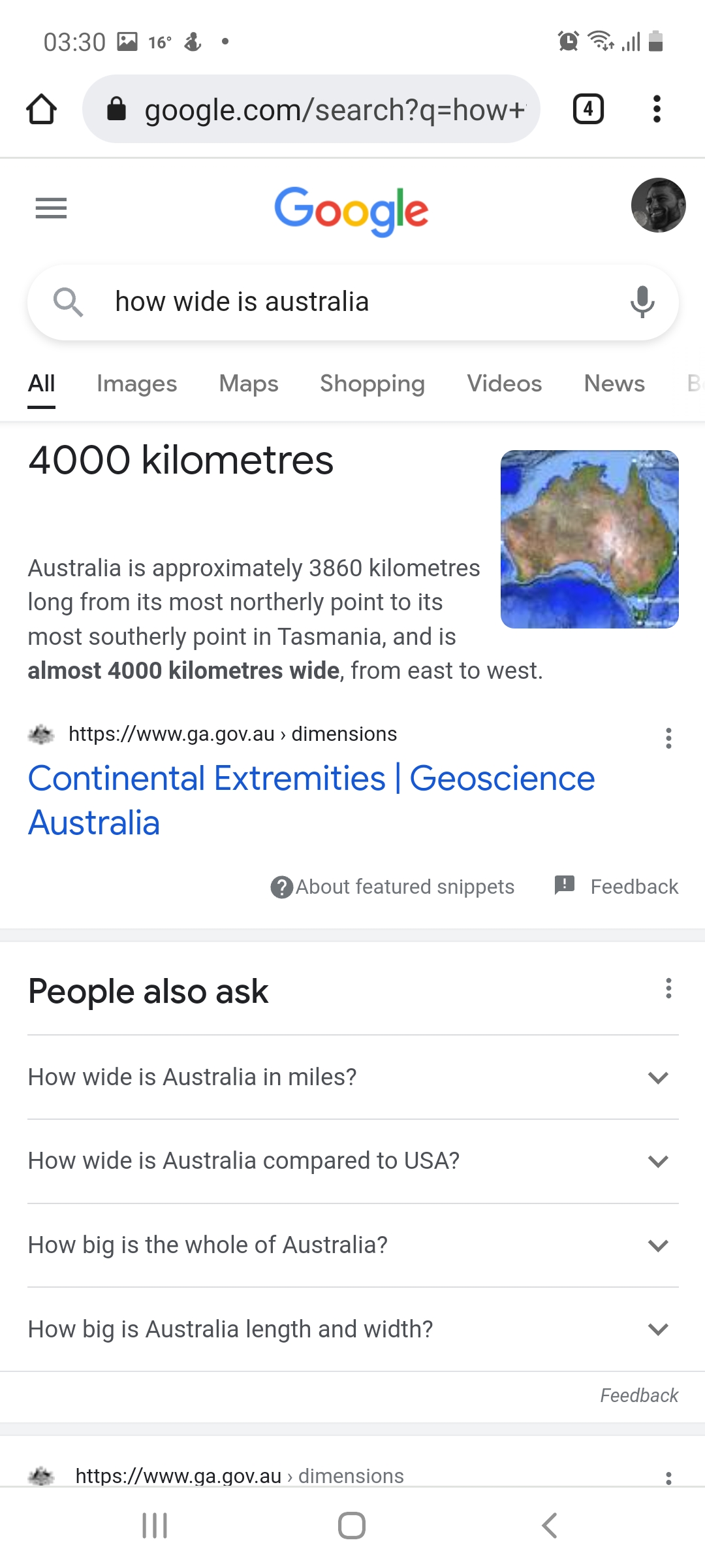
Australia is around 2000km long. So this would make the difference between puerto navarino and south africa 9000 km
In reality the distance is 5000km
Your measurements are wrong, the distance from puerto navarino to south africa is about 7.3km on this map, which is accurate. The countries on this map are also to their actual size, unlike the equidistant map. Most maps have a fucked sizes of the countries/continents.

Your measurements are wrong, the distance from puerto navarino to south africa is about 7.3km on this map, which is accurate. The countries on this map are also to their actual size, unlike the equidistant map. Most maps have a fucked sizes of the countries/continents.
Your measurements are wrong, the distance from puerto navarino to south africa is about 7.3km on this map, which is accurate. The countries on this map are also to their actual size, unlike the equidistant map. Most maps have a fucked sizes of the countries/continents.
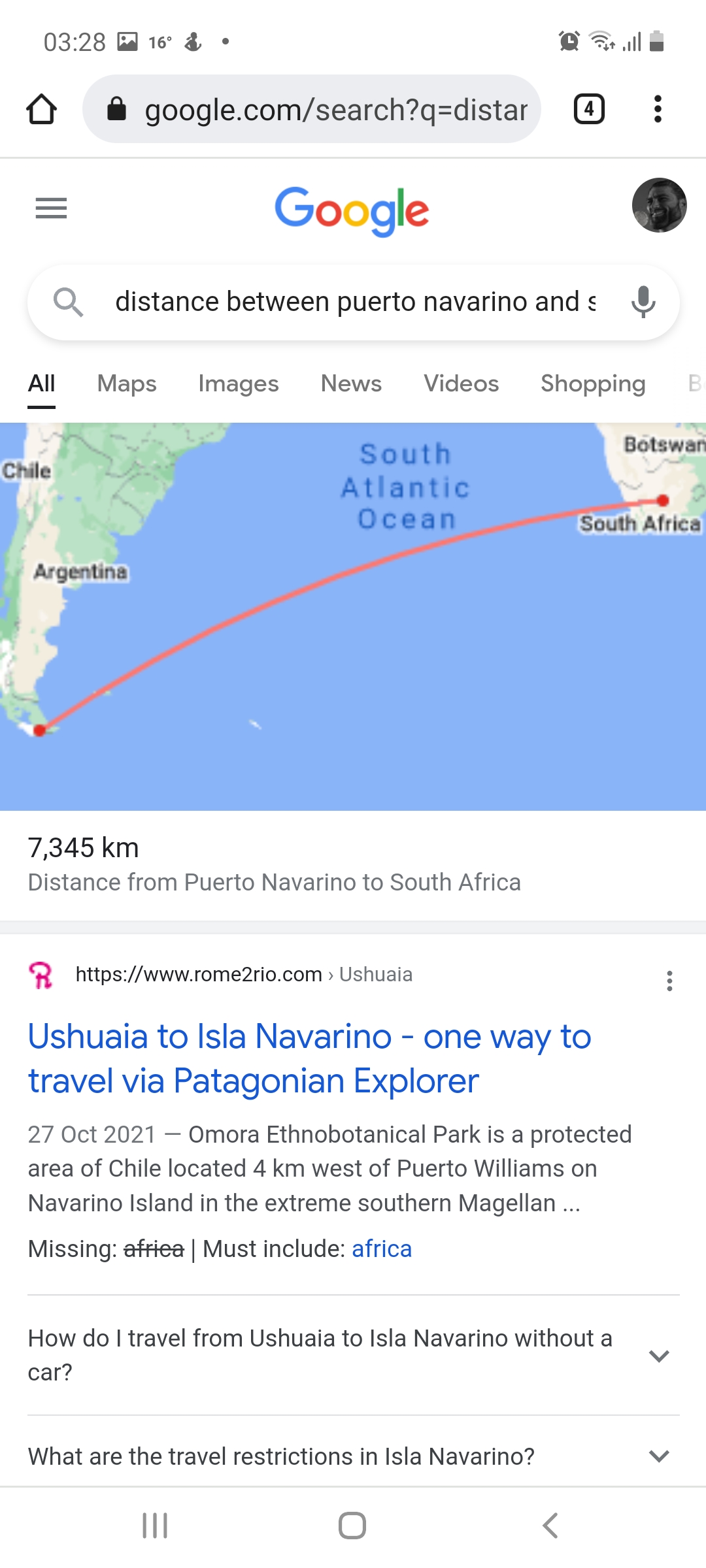
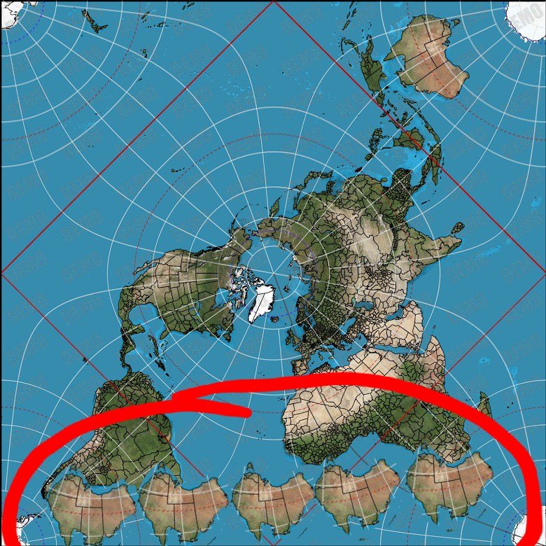
Yeah that map is using scuffed continent/country sizes, and bad distance.
Yeah, surprisingly google actually factors in the correct distance, which is why even on the maps that look like shit, there's a bit of curve on the distance, on an accurate map, there wouldn't be a curve, it'd be a straight line, but when you use a straight line on a shit map, the distances are fucked.
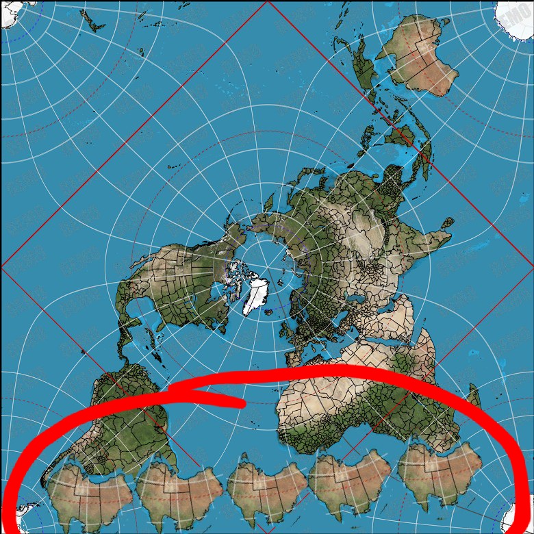
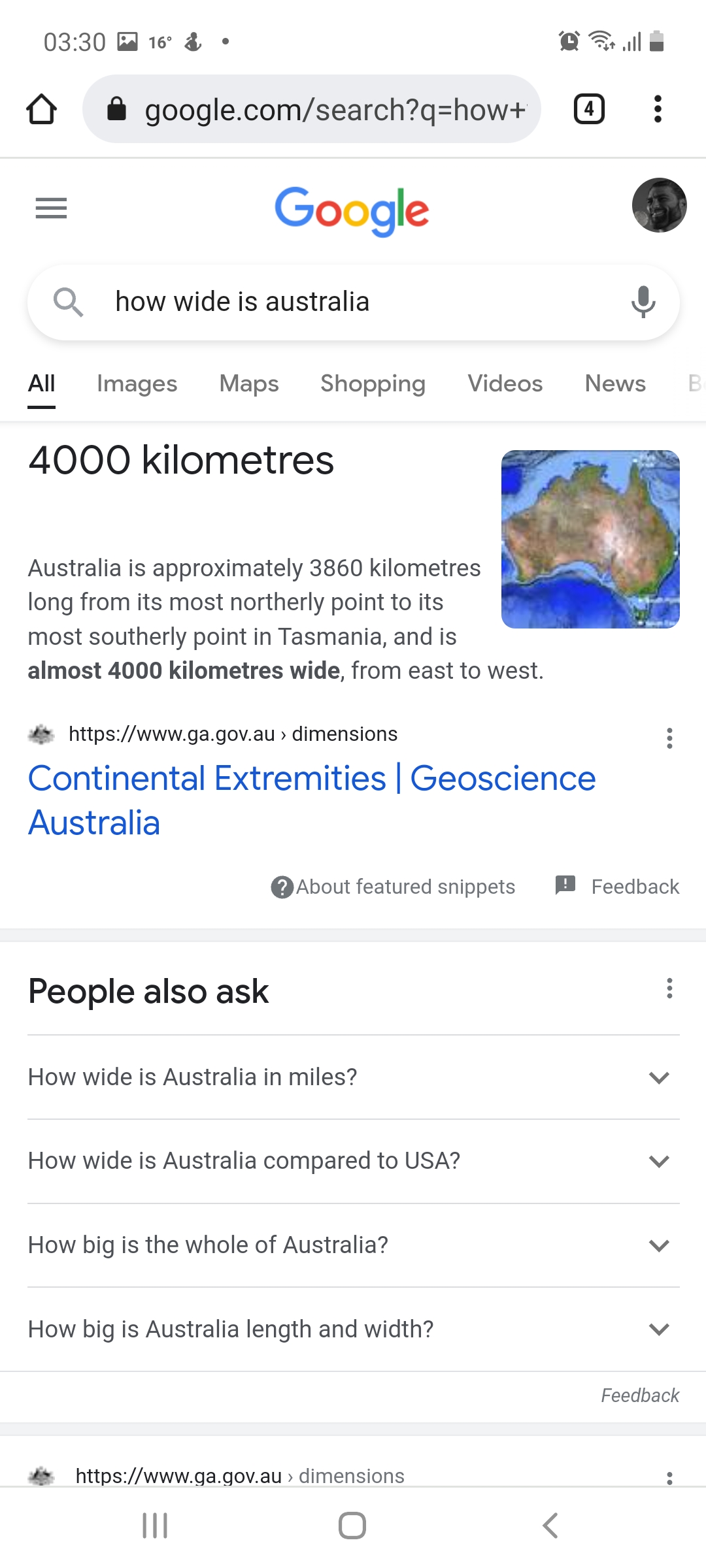
stop it u fckin bitch stop promoting this jewish propoganda
Vro, youre trollingstop it u fckin bitch stop promoting this jewish propoganda
Looking into the deformation of the map, it's called the Peirce quincuncial projection by the way, and it has a 9% deformation from the center of the map, meaning that, yes distances aren't ENTIRELY accurate, however, it seems to have the least amount of deformation compared to any other map.
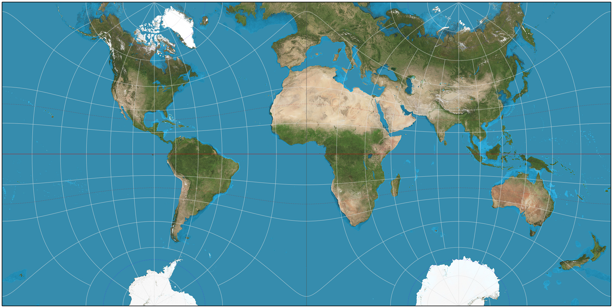
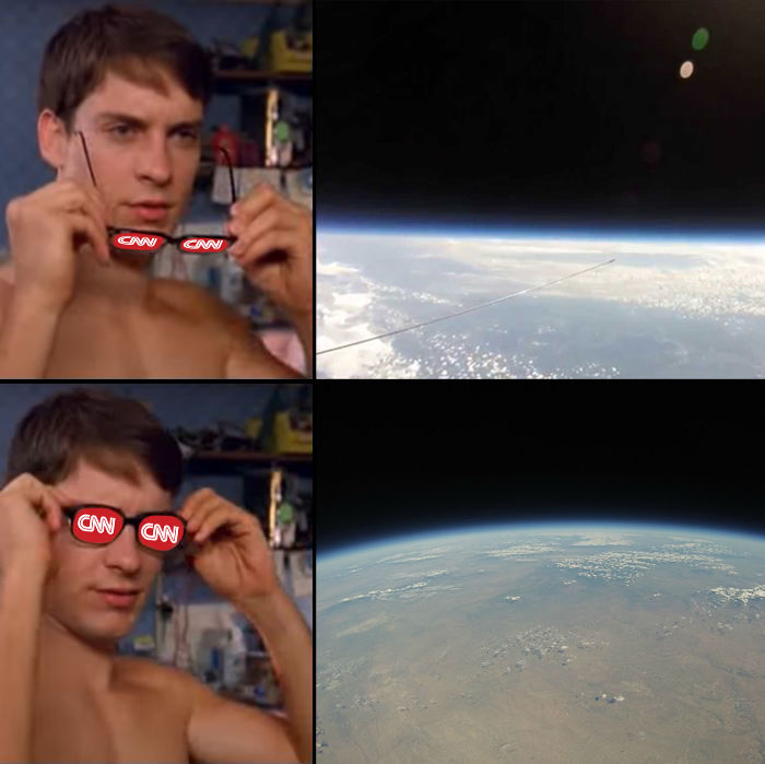
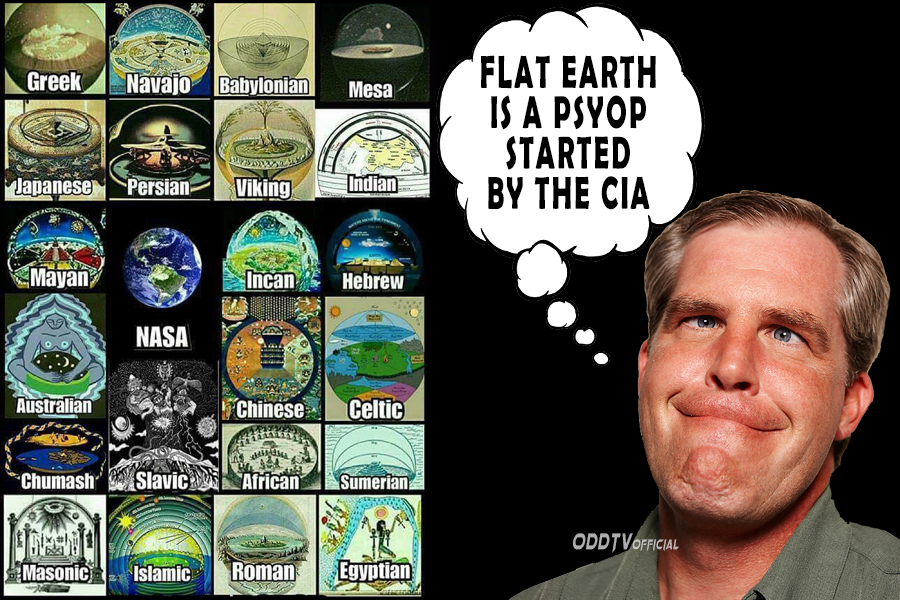

I just entirely disproved that your map. That map has extreme distance distortions, and it entirely useless. Not a single flat map has ever been accurate in the entirety of history and there never ever will be one. Because it would simply break geometry.Looking into the deformation of the map, it's called the Peirce quincuncial projection by the way, and it has a 9% deformation from the center of the map, meaning that, yes distances aren't ENTIRELY accurate, however, it seems to have the least amount of deformation compared to any other map.
This is a map that was supposedly found centuries ago, meaning it's a map that would have existed before, the Peirce Quincuncial projection.
View attachment 1425739
I am only focusing on the part that is "our part", but it also shows pretty similar distance between south america and south africa.
Meanwhile taking a look at the same projection on on "globe" model.
View attachment 1425741
I just measured the distance between the south of america to the south of africa, and it's roughly 629 pixels.
Now 4000kilometers is about 215 pixels if we're measuring it from Australia's size.
That means 430 pixels, 8000 kilometers, 645, 10,000, that's still not entirely accurate, I remember you going off on 10,000km before.
Don't you find it a bit strange that none of our maps are "entirely accurate", not maps on a flat projection, and definitely not maps on a globe projection, even though, both of these projections are some of the most accurate projections we have, both on a globe, and flat.
The map argument is clearly a red herring, but also the flat maps are also clearly more accurate, not perfectly accurate of course, but more accurate.
Anyways the arguments about the Earth not being a ball at the projected size they tell us it is, don't come from "The maps being wonky" they come from, oh I don't know, the fact that the curve is not observable, and things disappearing on the horizon can be explained away from atmospheric lensing, and how light works. How nobody is flying directly over the south pole in any flight path that would concretely disprove a flat or bigger earth, the fact that almost all footage involving the sun staying supposedly in the "south pole" seems to be poorly edited, and not replicated in the same way as it has been in the north. How nobody has ever really even gone to the north pole in a proper way (aka nobody has gone to the north pole, pulled out their compass and have it go fucking nuts, and the excuse is that the magnetic north pole is constantly moving, which is bullshit).
I don't think I have necessarily ever concretely said on this forum "The Earth is Flat", perhaps the part we know of as "Earth" is, but for all I know, it could just be "bigger".
Ala:
View attachment 1425751
There's also the fact that a significant amount of technology and research at the highest levels is done under the assumption of, you guessed it, the earth being flat.
View attachment 1425753
I mean I could also get into the schizo shit about how "NASA" means to deceive in hebrew, how pretty much every astronaut is a freemason, almost all tax funds that go into this shit somehow vanish, but we're talking about fucking maps, and yours are less accurate than ours.
Ironic.
View attachment 1425758View attachment 1425759View attachment 1425761View attachment 1425762
View attachment 1425764
I just entirely disproved that your map. That map has extreme distance distortions, and it entirely useless. Not a single flat map has ever been accurate in the entirety of history and there never ever will be one. Because it would simply break geometry.
If you actually managed to get ahold of a map which doesnt distort shit in to oblivion i will take flat earth seriously.
As for now im not taking a single flat earthers say actually seriously
The reason none of the round earth projections on a flat map work is because the earth is round, and its literally impossible to put the surfave area of a sphere on a flat plane.
Planes flying over antarctica:
Why would nasa and the govornment or whatever go through all this effort to keep the earth being flat a secret, but then basicly explicitly say in their studies that the ear is flat.
You said planes dont fly over ant arctica. They do.Flying over antarctica is not flying over any south pole flight paths that would disprove flat earth/bigger earth.
Also I can say the same thing about any "round earth map" that doesn't distort shit to oblivion.
What I said specifically was, "How nobody is flying directly over the south pole in any flight path that would concretely disprove a flat or bigger earth"You said planes dont fly over ant arctica. They do.
But anyways, The only model of the earth that we have which doesnt distort distances is the globe. There is not a single 2 dimentional map in the entire world which has ever been made or thought of which can fully display earth without causing distortion.
The only possible way for the earth to be flat would be for space time itself to be 4 dimentionally curved in to a ball.
This would make it impossible to directly observe the curvature, and it would be impossible to map on a flat surface, as geometry itself would behave differently on smaller scales such as maps, and largers scales such as the entire earth.
This is the only possible way for the earth to be flat.
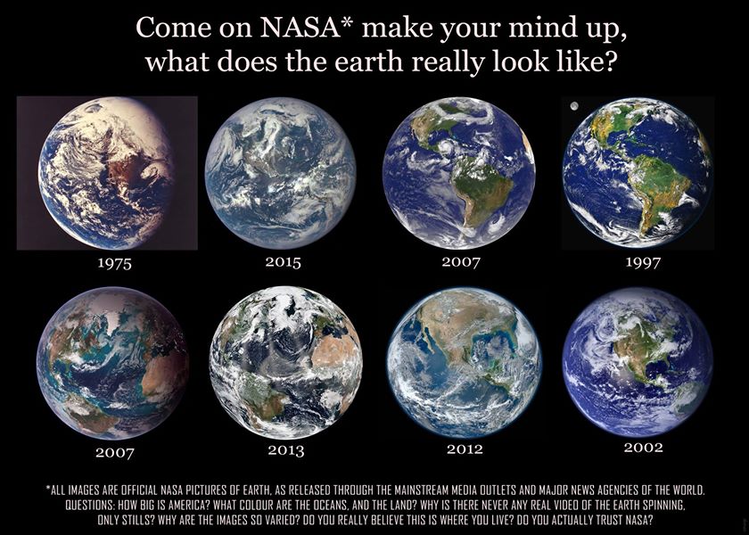
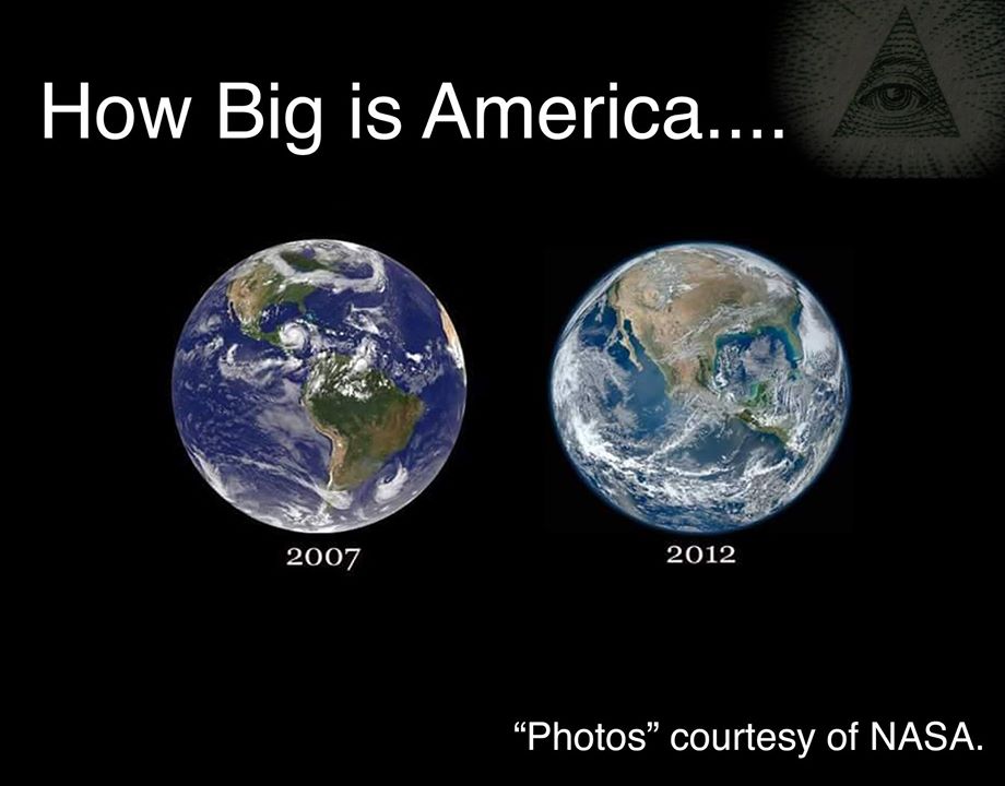
The Horizon is not curvature.Bruh I live on a mountain in Norway and I can litterally see the curvature of the Earth from my window
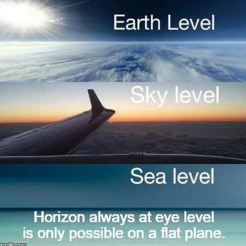
Do some measurements on an actual globe, and see if you find distortions, then report backWhat I said specifically was, "How nobody is flying directly over the south pole in any flight path that would concretely disprove a flat or bigger earth"
Also, every single mainstream map, globe or not is distorted, so that's not an argument.
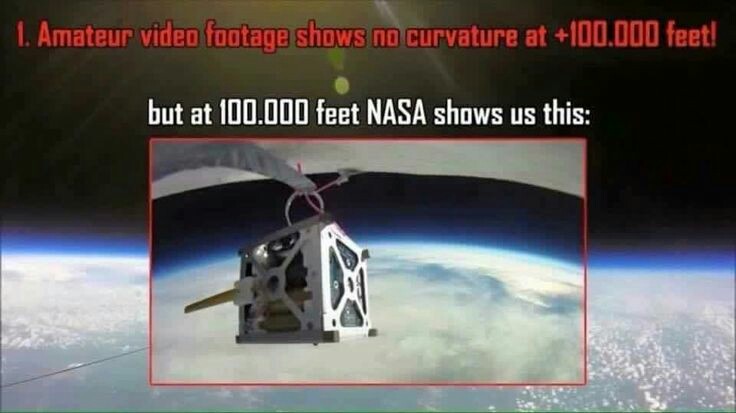
Even all the fake NASA shit is distorted.
View attachment 1426569View attachment 1426570
No one cares enough to put the time and energy in to proving such an obvious fact as the earth is round to spend thousands of dollars to fly over ant arcticaWhat I said specifically was, "How nobody is flying directly over the south pole in any flight path that would concretely disprove a flat or bigger earth"
Bro, almost every single Globe, is based off the Mercator Projection.Do some measurements on an actual globe, and see if you find distortions, then report back
No one cares enough to put the time and energy in to proving such an obvious fact as the earth is round to spend thousands of dollars to fly over ant arctica
They are not accurate because the are flat lolBro, almost every single Globe, is based off the Mercator Projection.

Mercator projection - Wikipedia
en.wikipedia.org
This is the common standard.
Even on the projection for the flat map

Peirce quincuncial projection - Wikipedia
en.wikipedia.org
It even says The part where the exaggeration of scale amounts to double that at the centre is only 9% of the area of the sphere, against 13% for the Mercator projection.
Do you understand, that this argument about maps is fucking retarded, because, regardless of it is projected on a globe, or a flat plane, these maps are not accurate, PERIOD. They are all used for different things, and for different reasons.
You're actually double digit IQ, none of the mainstream maps work, period, flat or not. Do you comprehend English? Do you even comprehend your own Jewish sources such as wikipedia saying directly, how busted and inaccurate the geometry is in terms of distance, regardless of how it is laid out?They are not accurate because the are flat lol
The mercader projection doesnt work because its flat.
The flat earth doesnt work because its flat.
You cant come up with a model which describes the earth without it distorting, which is a massive hole in the conspiricy.
We have a working model of a round earth called a globe. Which is why i am more inclined to believe in a spherical earth than a flat one.
Because geometry doesnt need to break down if if its spherical, unlike if its flat
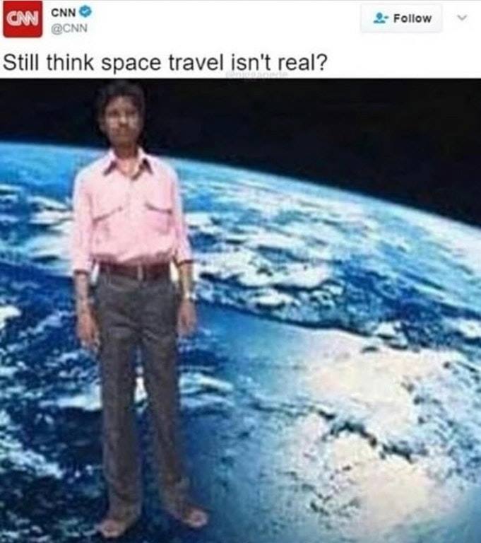
Prove that the geometry on a globe doesnt work faggotYou're actually double digit IQ, none of the mainstream maps work, period, flat or not. Do you comprehend English? Do you even comprehend your own Jewish sources such as wikipedia saying directly, how busted and inaccurate the geometry is in terms of distance, regardless of how it is laid out?
It's over for you, you have cognitive dissonance out the wazoo.
This is your brain on globe bruh.
View attachment 1426616
Bruh, what do you mean? The wikipedia articles themselves talk about the deformation and the distances not adding up, a few posts back I even did measurements myself on a more accurate map on a globe model, and it not adding up.Prove that the geometry on a globe doesnt work faggot
Link to post.Bruh, what do you mean? The wikipedia articles themselves talk about the deformation and the distances not adding up, a few posts back I even did measurements myself on a more accurate map on a globe model, and it not adding up.
Do you comprehend English?
Scroll up and read then, you low effort brainlet, jflLink to post.
I dont read through every single post youve ever made

Cant be fucked.Scroll up and read then, you low effort brainlet, jfl
View attachment 1426666
The absolute state.Cant be fucked.
You literally believe the earth is flat
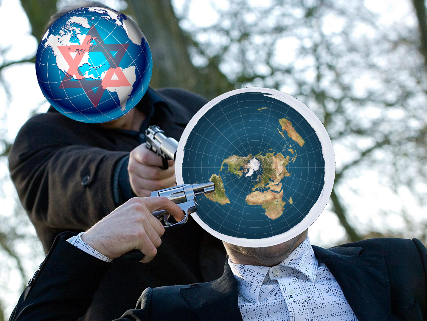

The irony
I cant believe i take advice from these people

Some guy had it as an avi in an old discord server i was in tbh.
He’s literally an Indian@n0rthface This is why normans will never take right wing serious, over.
What I said specifically was, "How nobody is flying directly over the south pole in any flight path that would concretely disprove a flat or bigger earth"
Also, every single mainstream map, globe or not is distorted, so that's not an argument.
Even all the fake NASA shit is distorted.
View attachment 1426569View attachment 1426570

Looking into the deformation of the map, it's called the Peirce quincuncial projection by the way, and it has a 9% deformation from the center of the map, meaning that, yes distances aren't ENTIRELY accurate, however, it seems to have the least amount of deformation compared to any other map.
This is a map that was supposedly found centuries ago, meaning it's a map that would have existed before, the Peirce Quincuncial projection.
View attachment 1425739

After countless hours of research I can confirm that the earth is actually flat and space/globe earth is a judeomasonic conspiracy that goes back almost 500 years.
Watch this asap if you're interested:
I'll reply to the negative rep globetard bootlicking autist with an essay he'll seethe about when I have time.

Holy fuck, another one of these retards.According to the round earth theory, how much distance is required to experience a one foot curve in the earth? Aka how far out does one need to travel in the Atlantic Ocean before at least 100 feet of the Statue of Liberty is no longer visible even with the use of a scope?