Xangsane
squishy squishy!
- Joined
- Jun 11, 2021
- Posts
- 160,813
- Reputation
- 140,223
Why I opened the 2025 Fantasy Hurricane League early:
- Some users have already started to select teams well in advance.
- Some users felt left out that the deadline was too close to call for 2024.
- Some users have already started anticipating a very active 2025 Atlantic hurricane season after the likely 2024 hurricane season from hell.
- The deadline to select names for 2025 is March 1st, 2025, so you have a VERY long time to sort out teams.
-------
INB4 DNRD: CHOOSE 6 NAMES FROM THE LISTS BELOW AND MAKE UP A GROUP NAME FOR ALL 6 NAMES. NO MORE THAN 3 USERS PER NAME.
-------
How to Participate:
Lock in your storm squad and team name by replying below. The drafting window closes as the first storm forms, but since it's currently 2024, you've got a very long time to select teams (since the 2024 drafting has closed and teams have already formed).
IF A NAME HAS BEEN CLAIMED 3 TIMES, YOU CANNOT CHOOSE THAT NAME.
HUMBERTO AND LORENZO HAVE ALREADY BEEN CLAIMED 3 TIMES, SO YOU CAN NO LONGER SELECT THOSE NAMES FOR YOUR TEAM.
DEADLINE TO SELECT NAMES: MARCH 1ST, 2025
-------
Storm Selection Pool:
Atlantic Squad:
Andrea, Barry, Chantal, Dexter, Erin, Fernand, Gabrielle,Humberto, Imelda, Jerry, Karen, Lorenzo, Melissa, Nestor, Olga, Pablo, Rebekah, Sebastien, Tanya, Van, Wendy
Auxiliary: Adria, Braylen, Caridad, Deshawn, Emery, Foster, Gemma, Heath, Isla, Jacobus, Kenzie, Lucio, Makayla, Nolan, Orlanda, Pax, Ronin, Sophie, Tayshaun, Viviana, Will
--
Pacific Party:
Alvin, Barbara, Cosme, Dalila, Erick, Flossie, Gil, Henriette, Ivo, Juliette, Kiko, Lorena, Mario, Narda, Octave, Priscilla, Raymond, Sonia, Tico, Velma, Wallis, Xina, York, Zelda
Auxiliary: Aidan, Bruna, Carmelo, Daniella, Esteban, Flor, Gerardo, Hedda, Izzy, Jacinta, Kenito, Luna, Marina
--
Note: It's more likely that we see the first Le Fort 4 candidate than to ever see Wilfredo and Xinia in our lifetime, hence we only included up to Marina for the auxiliary list in the Pacific Party.
-------
Confirmed Teams:
I WILL MAKE A SEPARATE THREAD WITH CONFIRMED TEAMS CLOSER TO THE TIME (IF I'M STILL AROUND). SO FAR WE HAVE:
INB4 DNRD: CHOOSE 6 NAMES FROM THE LISTS BELOW AND MAKE UP A GROUP NAME FOR ALL 6 NAMES. NO MORE THAN 3 USERS PER NAME.
-------
How to Participate:
Lock in your storm squad and team name by replying below. The drafting window closes as the first storm forms, but since it's currently 2024, you've got a very long time to select teams (since the 2024 drafting has closed and teams have already formed).
IF A NAME HAS BEEN CLAIMED 3 TIMES, YOU CANNOT CHOOSE THAT NAME.
HUMBERTO AND LORENZO HAVE ALREADY BEEN CLAIMED 3 TIMES, SO YOU CAN NO LONGER SELECT THOSE NAMES FOR YOUR TEAM.
DEADLINE TO SELECT NAMES: MARCH 1ST, 2025
-------
Storm Selection Pool:
Atlantic Squad:
Andrea, Barry, Chantal, Dexter, Erin, Fernand, Gabrielle,
Auxiliary: Adria, Braylen, Caridad, Deshawn, Emery, Foster, Gemma, Heath, Isla, Jacobus, Kenzie, Lucio, Makayla, Nolan, Orlanda, Pax, Ronin, Sophie, Tayshaun, Viviana, Will
--
Pacific Party:
Alvin, Barbara, Cosme, Dalila, Erick, Flossie, Gil, Henriette, Ivo, Juliette, Kiko, Lorena, Mario, Narda, Octave, Priscilla, Raymond, Sonia, Tico, Velma, Wallis, Xina, York, Zelda
Auxiliary: Aidan, Bruna, Carmelo, Daniella, Esteban, Flor, Gerardo, Hedda, Izzy, Jacinta, Kenito, Luna, Marina
--
Note: It's more likely that we see the first Le Fort 4 candidate than to ever see Wilfredo and Xinia in our lifetime, hence we only included up to Marina for the auxiliary list in the Pacific Party.
-------
Confirmed Teams:
I WILL MAKE A SEPARATE THREAD WITH CONFIRMED TEAMS CLOSER TO THE TIME (IF I'M STILL AROUND). SO FAR WE HAVE:
- Vivisector Ventetta Cartel: Humberto, Lorenzo, Pablo, Mario, Deshawn, Cosme (@Xangsane)
- Mixed Moggers: Deshawn, Caridad, Tayshaun, Emery, Humberto, Esteban (@future_mogger)
- Latino Cock Overtake: Humberto, Pablo, Lorenzo, Sebastien, Tanya, Van (@socialcel)
- Massive White Cock: Gabrielle, Lorenzo, Olga, Gemma, Priscilla, York (@TechnoBoss)
- Cum: Juliette, Mario, Sebastien, Tanya, Erin, Lorena (@MoggerM)
-------
Game Rules
Game Rules
- To be awarded points, storms must be named during the (League extended) hurricane season of May 1st - November 30th.
- The League season is complete and scoring is over when the last storm named before December 1st dissipates below TD level and November 30th has passed.
- Final League ties are decided by the highest recorded wind speed of any hurricane, then number of hurricanes named, then a two out of three rock-scissors-paper throw.
- NOAA is the only source for hurricane classifications, wind speed, landfall location, dates named, etc. The Commissioner’s rulings are final.
Game Scoring
- One point X the highest CAT level reached by each hurricane.
- One half point X the highest CAT level at time of USA or Mexico landfall.
- One quarter point X the highest CAT level at time of any other landfall.
- -0.5 point for all named tropical storms that do not reach CAT-1 level, nor make a landfall as tropical storms.
- +0.5 point for all named tropical storms that do not reach CAT-1 level, but make a landfall as tropical storms.
- Hurricanes making multiple landfalls will be awarded points for the single highest-scoring landfall only.
- All non-bonus points are doubled for storms named in May and October and are tripled for storms named in November.
- Puerto Rico, Hispaniola (Dominican Republic/Haiti), and Cuba are all considered US states for 2025.
- Three bonus points will be awarded to the storm with the highest attained wind speed, all ties receiving the full three points.
- Two additional bonus points will be awarded for each full week any storm maintains hurricane winds.
What might happen in the 2025 hurricane season:
Implications for 2025 Based on 2023 and 2024 Conditions:
- Transition from El Niño to La Niña: The shift from an El Niño phase in 2023 to a La Niña phase in 2024, especially coupled with record hot water temperatures, is a setup that historically leads to increased Atlantic hurricane activity due to reduced wind shear over the Atlantic, which is conducive to storm formation and intensification. If the La Niña phase persists into 2025, or even if conditions transition to a neutral phase without swinging back to El Niño, we could anticipate continued heightened activity.
- Sea Surface Temperatures (SSTs): The record hot water temperatures mentioned for 2024 play a crucial role in fueling hurricanes. If these elevated SSTs continue into 2025, they could further enhance storm development and intensification potential, regardless of the ENSO state. The trend towards warmer global temperatures suggests that high SSTs might not be a one-year anomaly.
- Climatic Patterns: The Atlantic Multidecadal Oscillation (AMO), another long-term climatic cycle affecting Atlantic hurricane activity, has been in a warm phase since 1995. If this warm phase persists, it would further contribute to the potential for an active 2025 season, especially in combination with warm SSTs.
Potential 2025 Season Scenarios:
- Above-Average Activity: If La Niña conditions persist or even if ENSO transitions to a neutral state, coupled with continued warm SSTs, the 2025 season could see above-average activity levels, similar to or potentially slightly less than 2024, depending on the exact conditions.
- Impact of a Potential El Niño: Should 2025 see the development of an El Niño phase, this could suppress hurricane activity in the Atlantic due to increased wind shear, potentially leading to a season closer to the long-term average, despite the warm SSTs.
- Historical Precedent: Historical patterns show that highly active seasons can sometimes be followed by quieter years if significant climatic shifts occur, but consecutive active years are also possible, especially under prevailing warm SSTs and favorable atmospheric conditions.
Conclusion:
While specific predictions for the 2025 Atlantic hurricane season require closer to the season's climatic data, the conditions observed in 2023 and 2024 offer valuable insights. Persistent warm SSTs and the state of ENSO will be critical factors to watch. Continuous monitoring of these and other climatic indicators over the next year will provide a clearer picture of what to expect for the 2025 season. Preparedness and adaptive response strategies remain essential for communities in hurricane-prone regions, given the inherent unpredictability and potential for significant impacts from Atlantic hurricanes.
Potential Land-Affecting Storms:
- Gabrielle: Given its timing during the peak of the hurricane season, Gabrielle could reach hurricane or major hurricane intensity. It has a higher likelihood of impacting land due to typical peak season steering patterns that bring storms closer to the Caribbean, the Gulf of Mexico, or the southeastern United States.
- Humberto: Historically, storms with this timing have a chance of affecting land. Humberto could become a major hurricane, potentially impacting the Caribbean or the eastern coast of the United States, depending on steering currents.
- Lorenzo: Late peak-season storms like Lorenzo often find themselves navigating warmer waters and could be steered towards the Eastern Seaboard of the United States or into the Caribbean, depending on high-pressure systems in the Atlantic.
- Olga: Late-season storms can sometimes make northward turns affecting the East Coast of the United States or head towards Central America. Olga could reach hurricane strength, with the potential to impact land if it doesn't curve away into the Atlantic.
Potential "Fish Storms":
- Dexter: Early in the season, storms like Dexter may not find the steering currents to bring them ashore and could remain over open water. If it does intensify, it might do so without affecting land directly.
- Erin: Positioned early to mid-season, Erin could become a fish storm, especially if high-pressure systems in the Atlantic steer it away from land. It might reach hurricane strength but stay over open water.
- Pablo: Later in the season, storms like Pablo have a chance of curving north into the open Atlantic, influenced by mid-latitude weather systems. It could become a significant hurricane but remain a fish storm.
Intensity Considerations:
- Gabrielle, Humberto, and Lorenzo have the potential to reach major hurricane status (Category 3 or higher) due to their formation during the peak of the season when conditions are most conducive for intensification.
- Dexter and Erin, if they remain over open water, could still reach Category 1 or 2 hurricane strength but without land interaction, their development will primarily be of interest to maritime interests.
- Olga and Pablo, due to their late-season formation, might vary widely in intensity depending on the exact sea surface temperatures and atmospheric conditions they encounter, ranging from tropical storms to Category 1 or 2 hurricanes.
Caveats:
This assessment is highly speculative and based on general patterns observed in past hurricane seasons. Actual storm paths, intensities, and impacts will depend on a variety of factors that can only be accurately assessed close to the time of storm formation. Monitoring updates from official meteorological agencies and hurricane centers is crucial for accurate predictions and preparedness activities.
Factors Enhancing "MOG" Potential:
- Sea Surface Temperatures (SSTs): Warm SSTs are crucial for hurricane development and intensification. Even in a cool neutral ENSO year, areas of the Atlantic may remain sufficiently warm to fuel significant hurricanes.
- Wind Shear: Lower levels of wind shear, which can be a feature of neutral ENSO years, allow storms to organize and intensify more readily, increasing the potential for a storm to become a major hurricane.
- Steering Currents: The path a hurricane takes towards landfall can be influenced by atmospheric steering currents, which can vary year-to-year. A storm's impact potential increases significantly if it is directed towards densely populated or vulnerable coastal areas.
2024 threads:

[OFFICIAL THREAD] 2024 LOOKSMAX.ORG FANTASY HURRICANE LEAGUE
TIME'S UP. THE DEADLINE HAS PASSED. THE OFFICIAL TEAMS FOR THE 2024 LOOKSMAX.ORG FANTASY HURRICANE LEAGUE HAVE BEEN DRAFTED. --- 2024 Fantasy Hurricane League Rules and Scoring Points are cumulative and awarded for each storm based on the following rules: --- PLEASE WELCOME ON...

[CHOOSE YOUR TEAM] 2024 Looksmax.org Fantasy Hurricane League
INB4 DNRD: CHOOSE 6 NAMES FROM THE LISTS BELOW AND MAKE UP A GROUP NAME FOR ALL 6 NAMES. NO MORE THAN 3 USERS PER NAME. Inspired by: https://www.hurricane.life/ Storm Selection Pool: Atlantic Squad: Alberto, Beryl, Chris, Debby, Ernesto, Francine, Gordon, Helene, Isaac, Joyce, Kirk...

[PRELIMINARY TEAM LIST] Looksmax.org Fantasy Hurricane League 2024
The Fantasy Hurricane League 2024 is off to an electrifying start with teams like Tropic Thunder and Dark Looks - BBC Alliance already throwing down the gauntlet. But the skies are wide open, and the season is just beginning! This is your chance to get in on the action if you haven't already. 🏆...

YOU HAVE 24 HOURS TO SUBMIT YOUR TEAM FOR THE 2024 LOOKSMAX.ORG FANTASY HURRICANE LEAGUE.
PREVIOUS THREADS: https://looksmax.org/threads/preliminary-team-list-looksmax-org-fantasy-hurricane-league-2024.958464/ https://looksmax.org/threads/choose-your-team-2024-looksmax-org-fantasy-hurricane-league.958302/ YOU HAVE 24 HOURS TO SUBMIT YOUR TEAMS. THE DEADLINE IS 00:00 EST (UTC -5)...
Last edited:


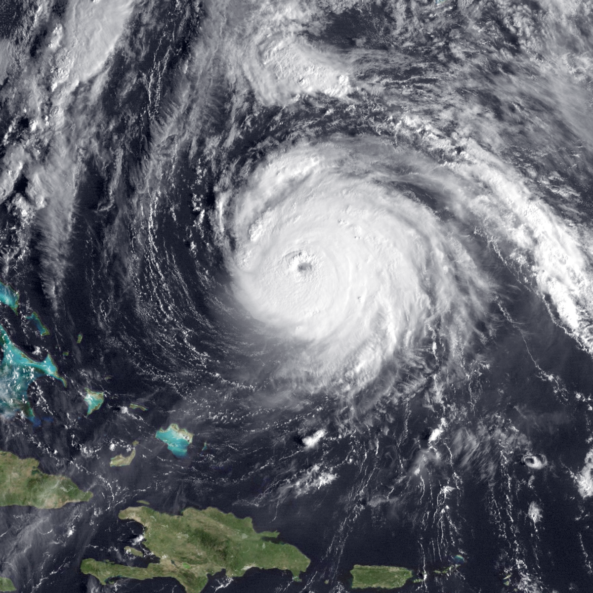
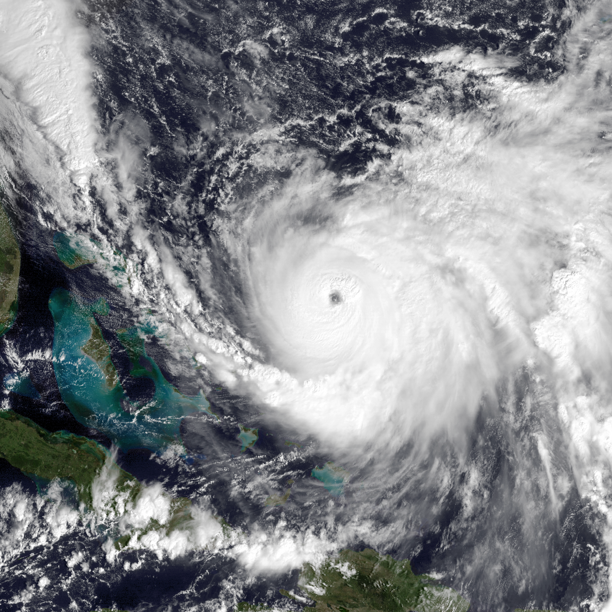


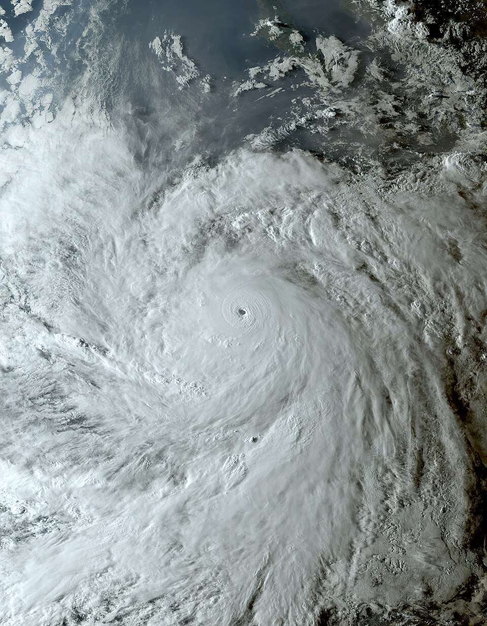
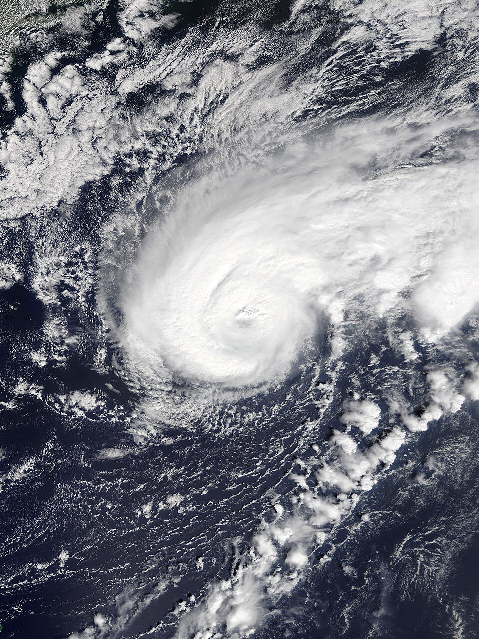
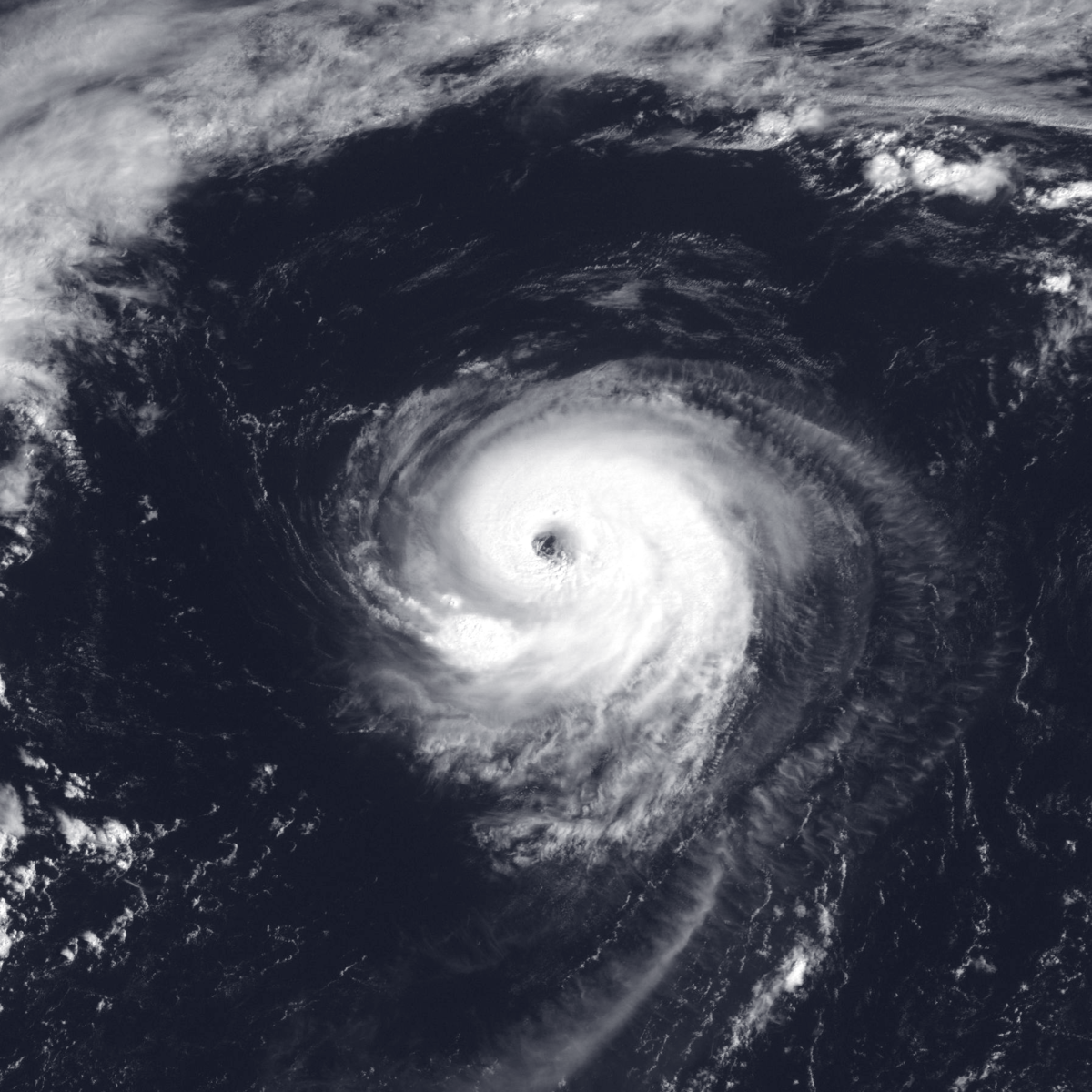

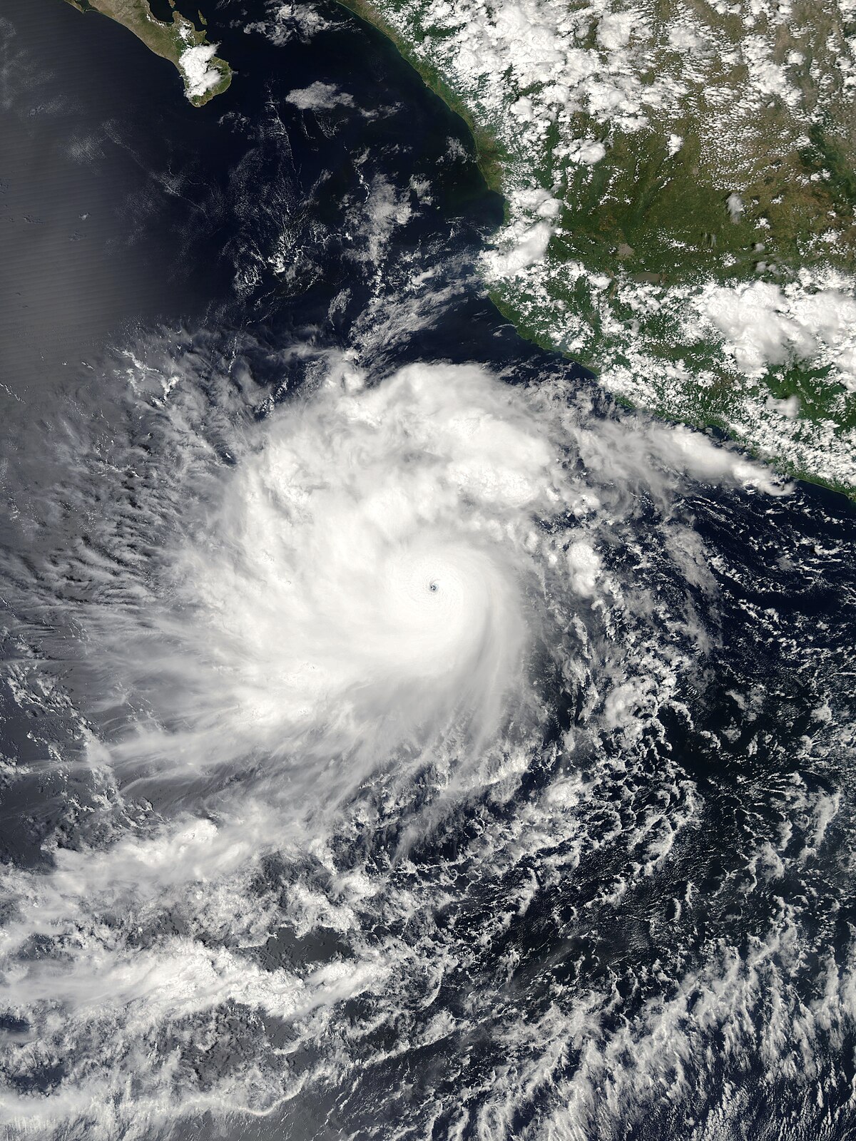

 : Gil, Pablo, Mario, Deshawn, Cosme, Viviana


